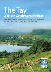
I am currently digitizing the watercourses in Glen Lyon, prior to survey work beginning there shortly. We have pencilled in Monday 2nd June as our day for re-starting.
Surveyors then get a map like this to work with, showing numbered watercourses that are to be walked and all relevant information recorded. The computerized map is easily updated, lengths of watercourses are readily available so that progress is easily tracked. This is part of the Glen Lochay map from last year.


No comments:
Post a Comment