Friday 31 December 2010

Looking forward to 2011


We yesterday received a very welcome donation that will allow us to print another 2000 copies of our TWCP survey report, which we can now distribute to a wider audience to get our key messages across. Hard copies of the report will be available for £7.50 plus P & P if required. A free low resolution version can be downloaded by linking here: http://www.scottishnativewoods.org.uk/index.asp?lm=60 and scrolling down to TWCP Final Report pdf.
Details of outlets and means of ordering will be available in a few weeks when we have worked out the details.
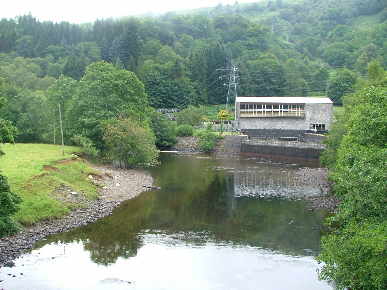
At the TDSFB AGM on 7th December, it was agreed that many of the functions relating to river management would be devolved to new organization based in this area, provisionally to be called the "Tay Western Catchments Partnership". We will have publicity going out in mid January to co-incide with the opening of the new salmon season on the Tay.
So, after a few quiet months on here, we are now ready to go and looking forward to 2011.
Happy New Year to one and all.

The Salmon Life Cycle


The TWCP survey was focused on improving the riparian environment for fish. This excellent ilustration of the salmon life cycle has been produced for the Atlantic Salmon Trust by Robin Ade.

Friday 24 September 2010

TWCP Report launch


We launched our TWCP report in Killin on Wed past, and although te crowd was a bit small, we had a number of key players there, and it was a great occasion. We will do some sort of PR in due course. Here are copies of report on my desk, ready to go out next week, as soon as I have a covering letter OK-ed.
More specific feedback in due course.
Being caught up in speeches etc on the day, I have no photos of actual event itself.

The Lochay on launch day


Monday 20 September 2010

Duneaves Bridge


Another photo from Kristina Hayward. This bridge crosses the Lyon immediately below Fortingall.

Monday 6 September 2010

Harvest time on Tayside


Another excellent photo from Kristina Hayward

Saturday 14 August 2010

Giant Hogweed on the upper Tay


Here is some giant hogweed found by Kristina Hayward just below Aberfeldy, with the only previous record of the species found on a side tributary above the town. As their name suggests, "invasive species" spread quickly. There has also been a record this summer up in Killin, on some soil brought in to a brown-field site in the town. Himalayam balsam also seems to have spread greatly this summer.
We have been frustrated in recent years trying to get some funding to deal with these invasive species. Funders wont fund this because they expect the Scottish Rural Development Programme to do so. They wont fund it unless every landowner within an area enters a seperate contract. This is expensive....so they dont. Result is that what was a minor problem is now rowing.

Saturday 7 August 2010

Upper Lochay yesterday


Despite the drought conditions earlier this summer, there is still a decent flow in the upper river at present, more than there usually is under abstracted conditions.

Low water levels in the lower Lochay


Water guage


Lochay Power Station


The Lochay power station is shut down for refurbishment at the moment. There is no water being extracted from the upper catchment, and no compensation flow coming back through the pipes from Glen Lyon either, hence the low water levels in the bottom part of the river. Part of the Drumchroisk basin is extracted towards Ben Lawers, but other than that, this is more or less a natural flow in the Lochay under dry conditions. Interestingly however, even with the very dry summer, in the upper river where the best juvenile habitat is, there is still a much greater area of gravel covered by water than there would be in most normal years when water was getting abstracted.

Saturday 31 July 2010

Alastair Kininmonth's sheep


Photo from Kristina Hayward.

Saturday 3 July 2010

What the Lochay could look like......


This was the Lochay two days ago after some rain overnight. Normally the Lochay here is only 6-10 ft wide, with water no deeper than your ankles, even in a relatively wet summer. This year, there is no water abstraction in the upper glen while repair works are carried out to the hydro infra structure. What you see here therefore represents a natural flow in the Lochay, albeit after some rain (after a prolonged drought period).
It is just the upper Lochay that is up at the moment. The lower river is very low (no water from Glen Lyon being added, and Loch Lyon )below) is about as low as it has ever been. It will take more than a night's rain to fill it up again.

Looking downstream.........


Friday 2 July 2010

Pipeline at top of Glen Lochay


Low water levels at Loch Lyon


Loch Lyon is probably as low as it has ever been at present, with very little rainfall having fallen during 2010 to date.

Looking up Loch Lyon.......


Old fence posts emerging........


VIDEO- Loch Lyon at record low levels

This was Loch Lyon yesterday...the gulls calling made it all the more eerie and still.

Friday 18 June 2010

By the Lochay........


Friday 11 June 2010

Final report taking shape


This is the front cover of TWCP final report. We have agreed the text of the main report, and are currently organizing a strategy for launching later in summer. Getting the timing right is going to be tricky, but we are meeting again on 1st July to finalize a plan.

Saturday 5 June 2010

The Upper Lochay- natural drought flow


The Lochay is not going to be abstracted this summer because of maintenance to the pipelines. Therefore, we will see a natural flow down the river for the first time in many, many years. Unfortunately, the current drought means that the river is still very low. Although it is hard to make a proper judgement, it would appear that the lower river is well down on usual levels (no water coming back from Glenlyon) but the upper river appears to be fuller, despite the side burns being almost dry.
It will be really interesting to keep an eye on things this summer.

The Innisraineach Burn Unplugged


The current shut- down provides an excellent opportunity to see some of these watercourses when they are not being abstracted.This watercourse runs down beside the pipeline to Glenlyon. Normally this would be full of water, overflowing down the grid in to the pipe. The sluice gate has been lifted and all the water (not very much because of the dry weather) is going down the main burn.

Closer.......


From the other side......


Down the chute.........


How it works......


When the sluice gate is down, the water dams up and goes down the grill in to the pipe leading to Glenlyon. The grill keeps out floating debris. Sediment sinks to the bottom.
Simple but devastatingly effective.

VIDEO- Down the plughole

This is the Innisraineach Burn escaping out and down the watercourse.

VIDEO- Further down the burn.......

This is the water at the bottom end of the burn, just as it enters the Lochay.

This is interesting.........


We were here in 2008 on a TDSFB visit, when the river at this point was no more than 6 ft wide and most of the stones here under water were sitting dry. It would appear that even in drought conditions, there is more water in the UPPER Lochay than when it is being abstracted.

Lower end of the Allt Innis Choarach


The Allt Innis Daimh

Pretty dry.....

Closer........


The Lubcurran Burn

Pretty dry as well..........

Closer..........


Looking up the Lochay........


And again.....


The pipeline to Glen Lyon


Straight on


Looking down Glen Lochay


Bend in the river


You can see how low the river is here.

Deer beside the Lochay


Native woodland fragments


Saturday 13 March 2010

Weir at the falls of Lochay


I was asked to go up to see the Lochay today as apparently it was nearly dry. However, by the time I got up, some-one had turned the tap on...!! What you see here and in the subsequent two photos is the result of snow melt.....there was nothing here 6 hours previously. Amazing...!!

The Falls of Lochay


This is the Falls of Lochay through some branches....you can see there is a series of three falls. The top and bottom ones are passable to salmon, but the middle one is not.

The Falls at Kenknock


This is all snow-melt since this morning......

A distant western sunset


Monday 8 March 2010

The Tay Today from Wade's bridge, Aberfeldy


The river is very low just now........

Tuesday 23 February 2010

Through a dirty window.........


Glorious day in Highland Perthshire today.............

Thursday 18 February 2010

TWCP Report front cover photo


This photo of Killin will form the front cover of our final report.

Helen Meek of Ardessie Publishing, Dundonnell,near Ullapool, will be designing our final report.
We will be making best use of all the photographic material that we have.